
“THE REAL PEOPLE” THE NEZ PERCE TRAIL
In 1877, the Nez Perce or Niimiipuu "the real people" were driven from their native lands by the U.S. Army. The war, their 1,170 mile flight across three states, and their final capture and surrender lasted from June 17th to October 5.
I first heard about this 'last Indian war' while traveling in the Pacific Northwest in 2017. When I discovered, I had been traveling over the same route over which the New Perce had fled, I decided to trace the route and photograph the 'memories' of the land.
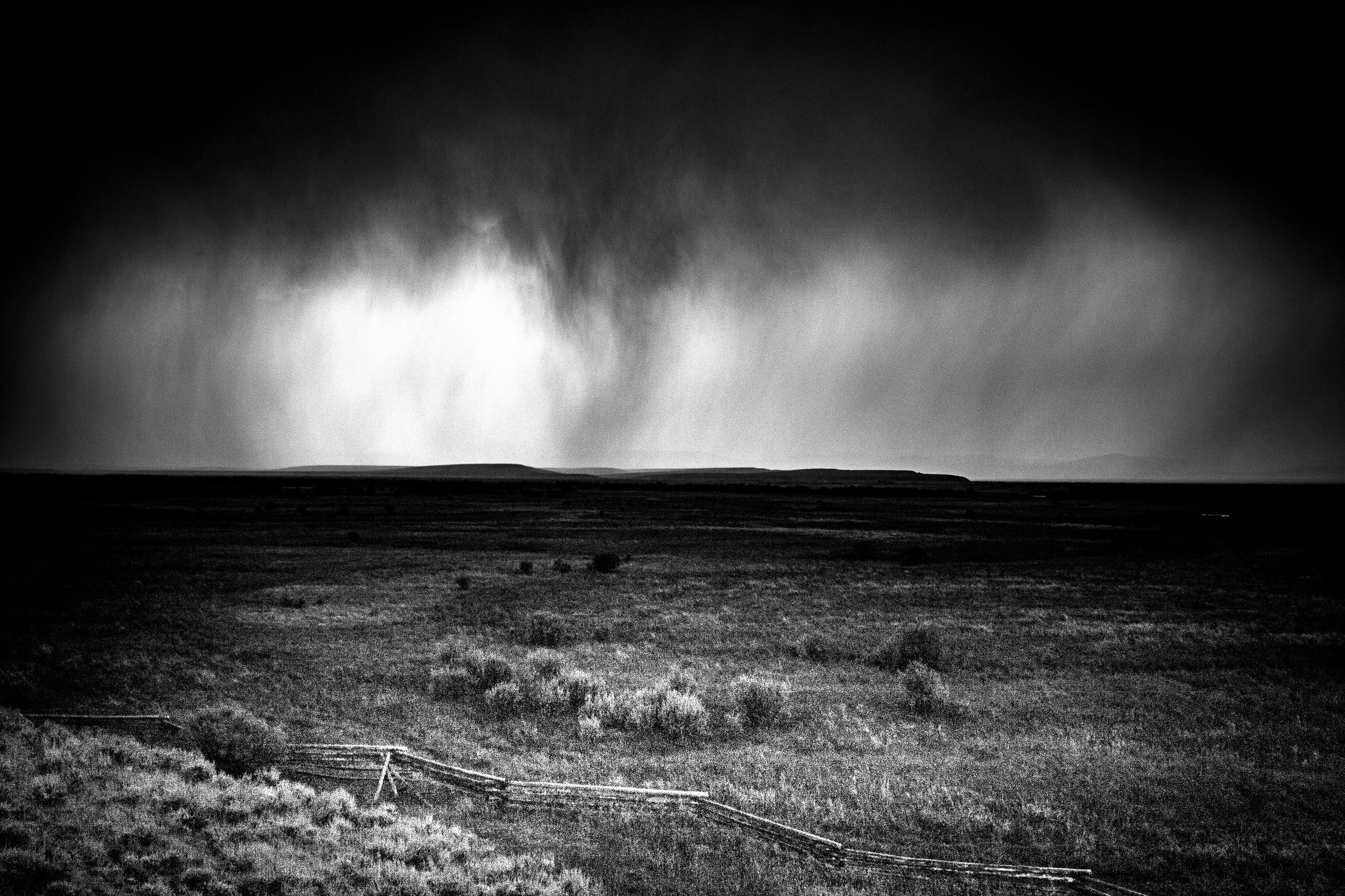
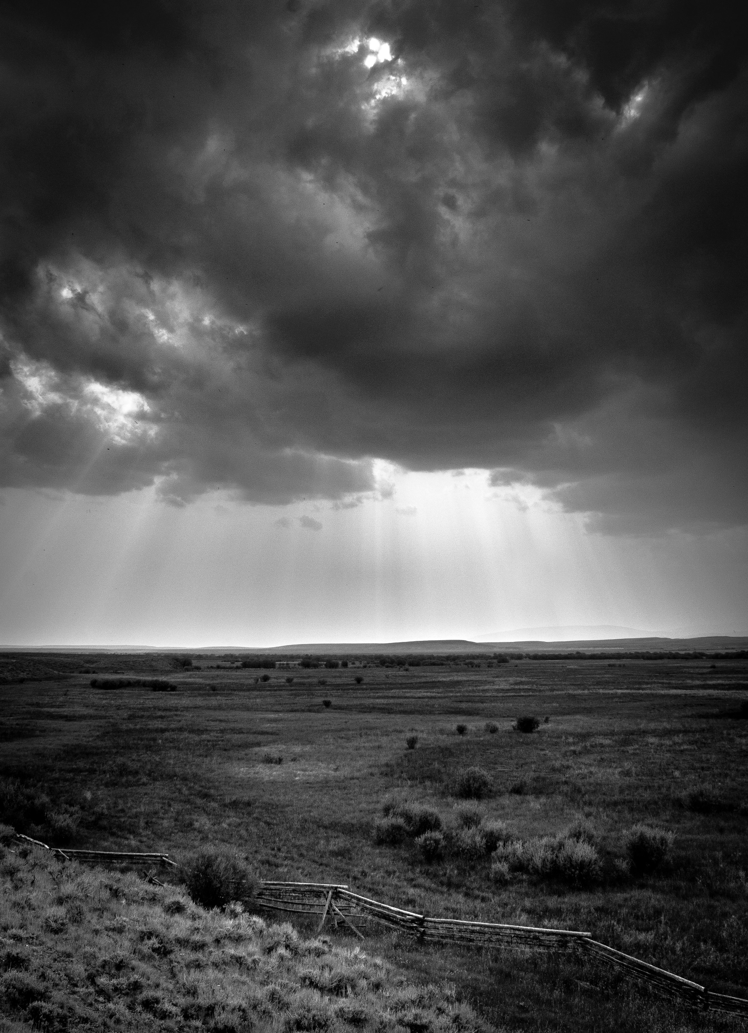
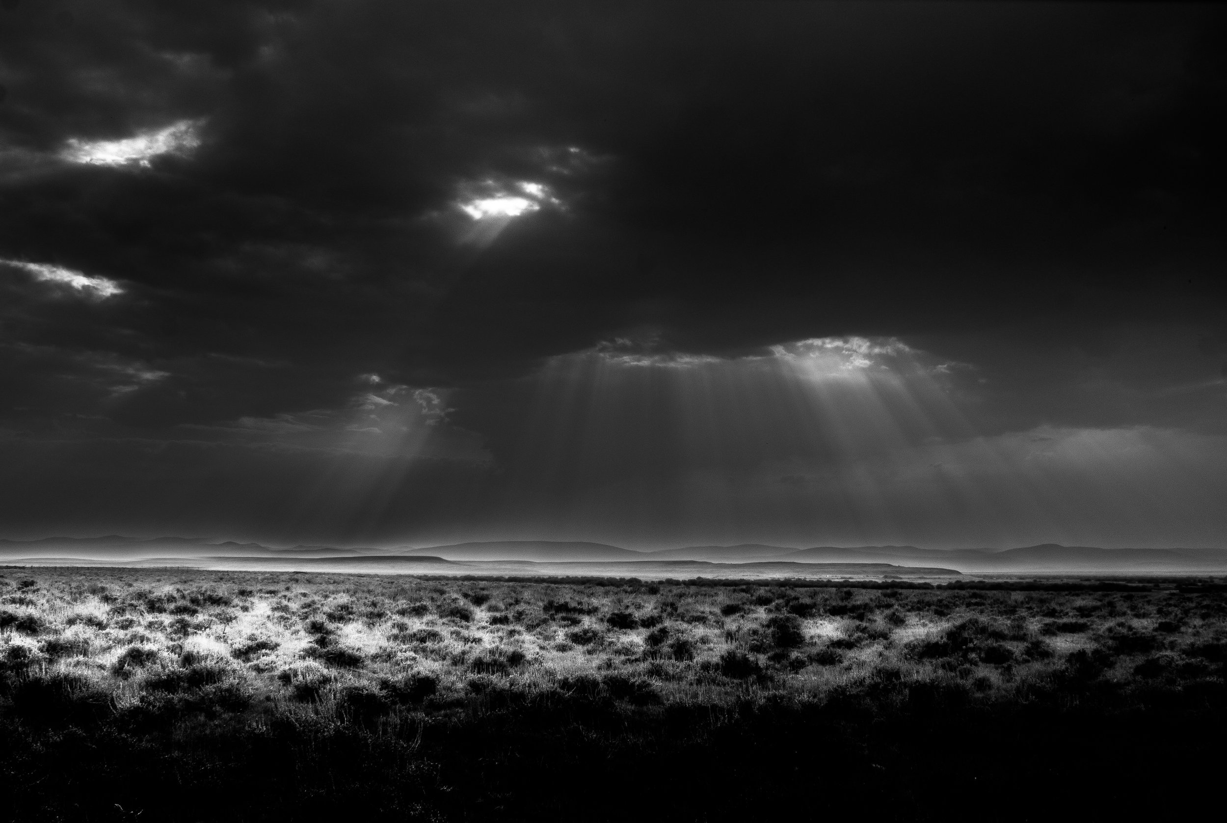
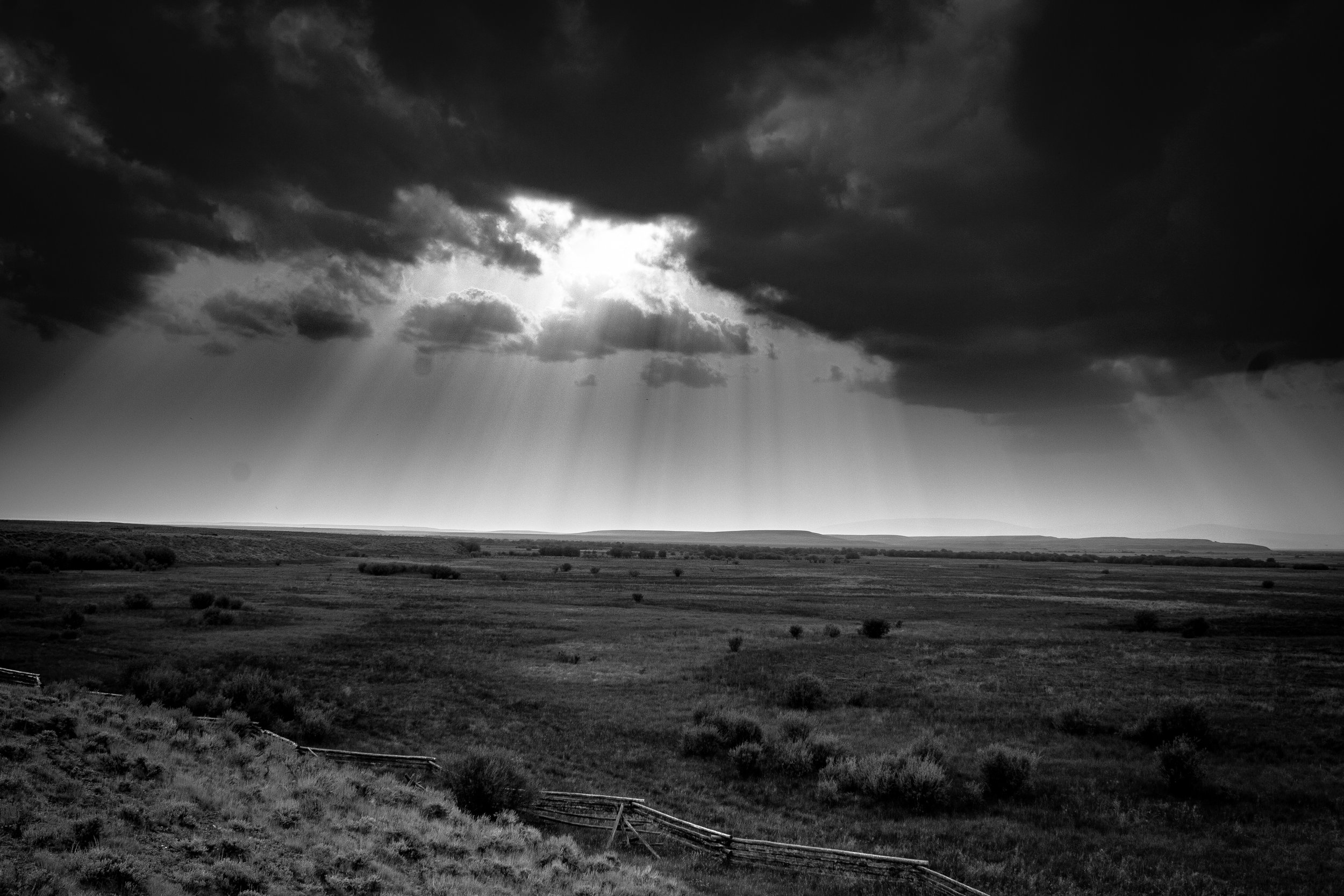
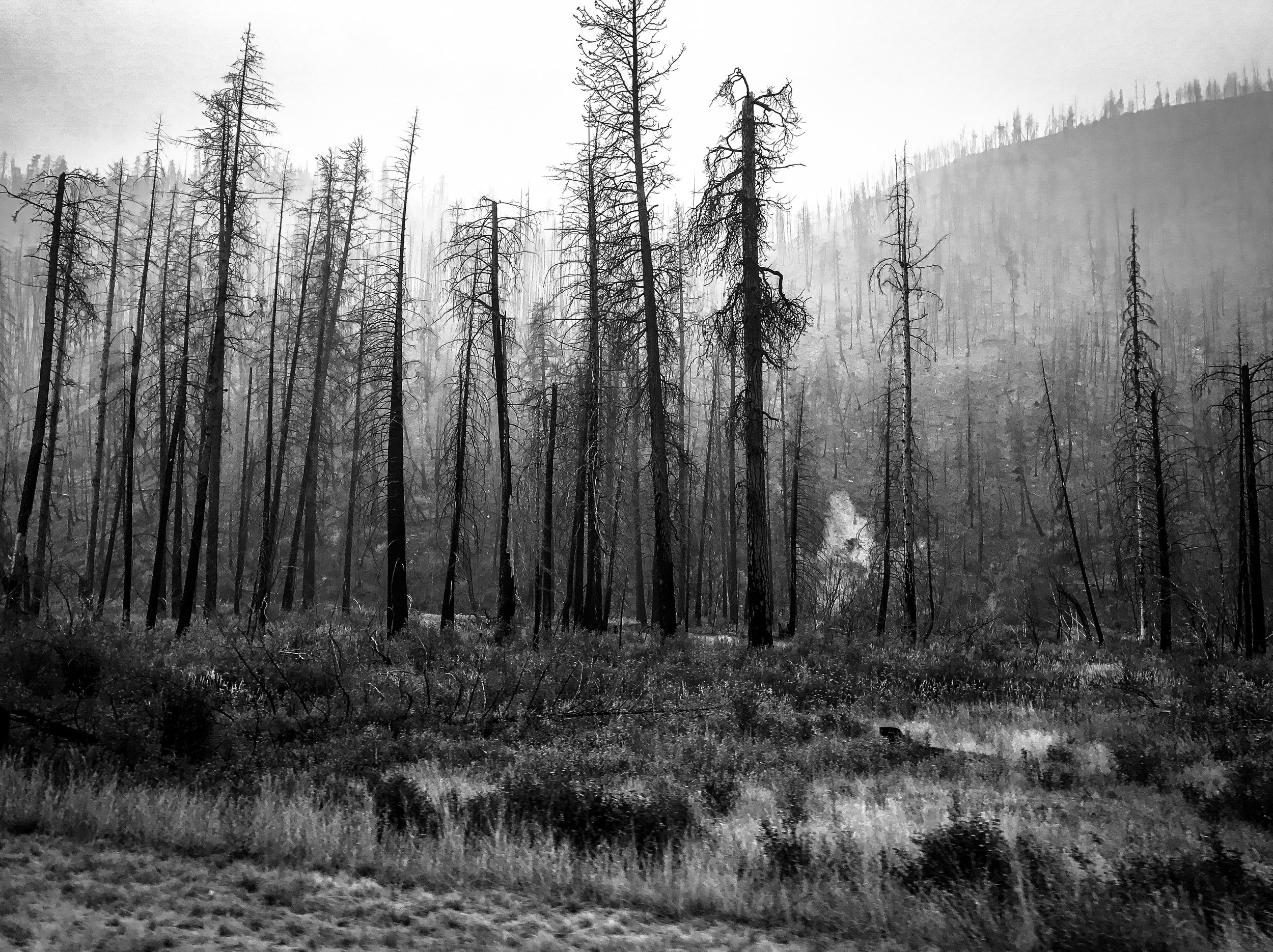
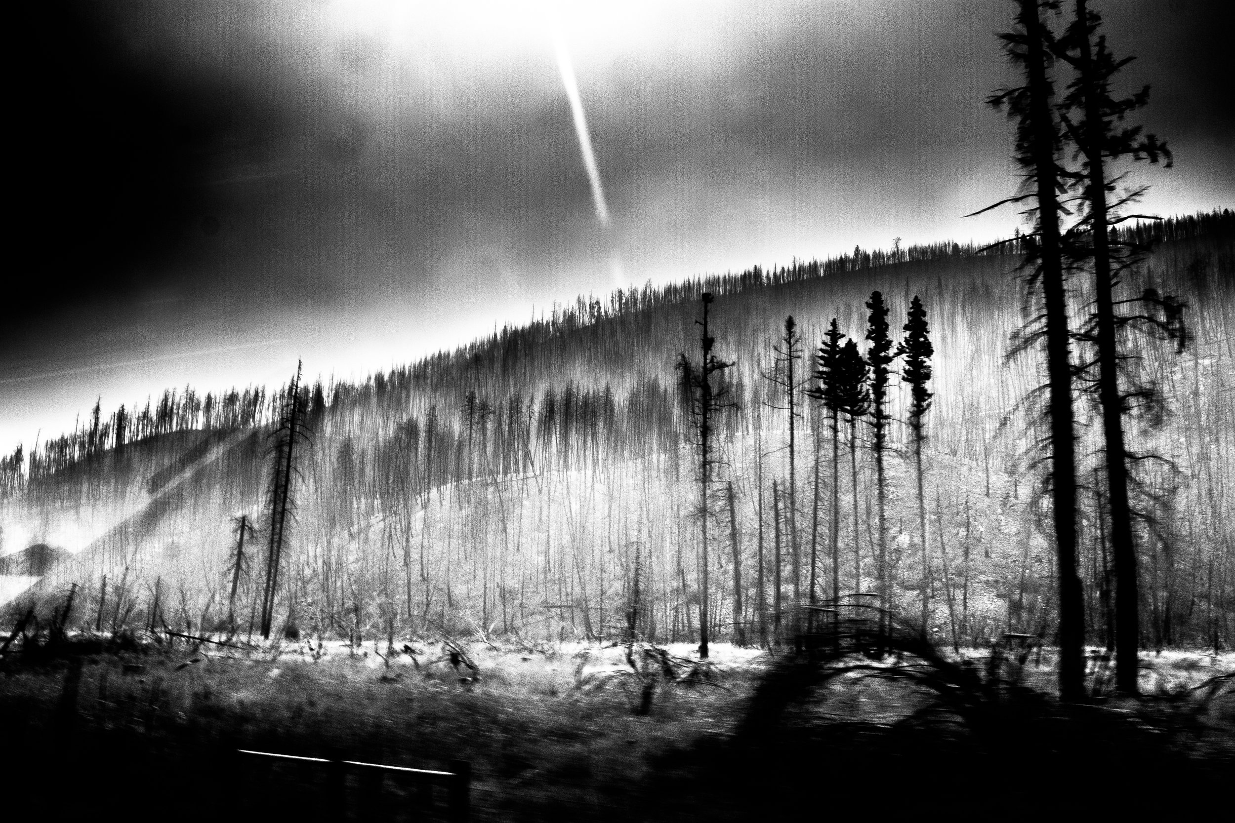
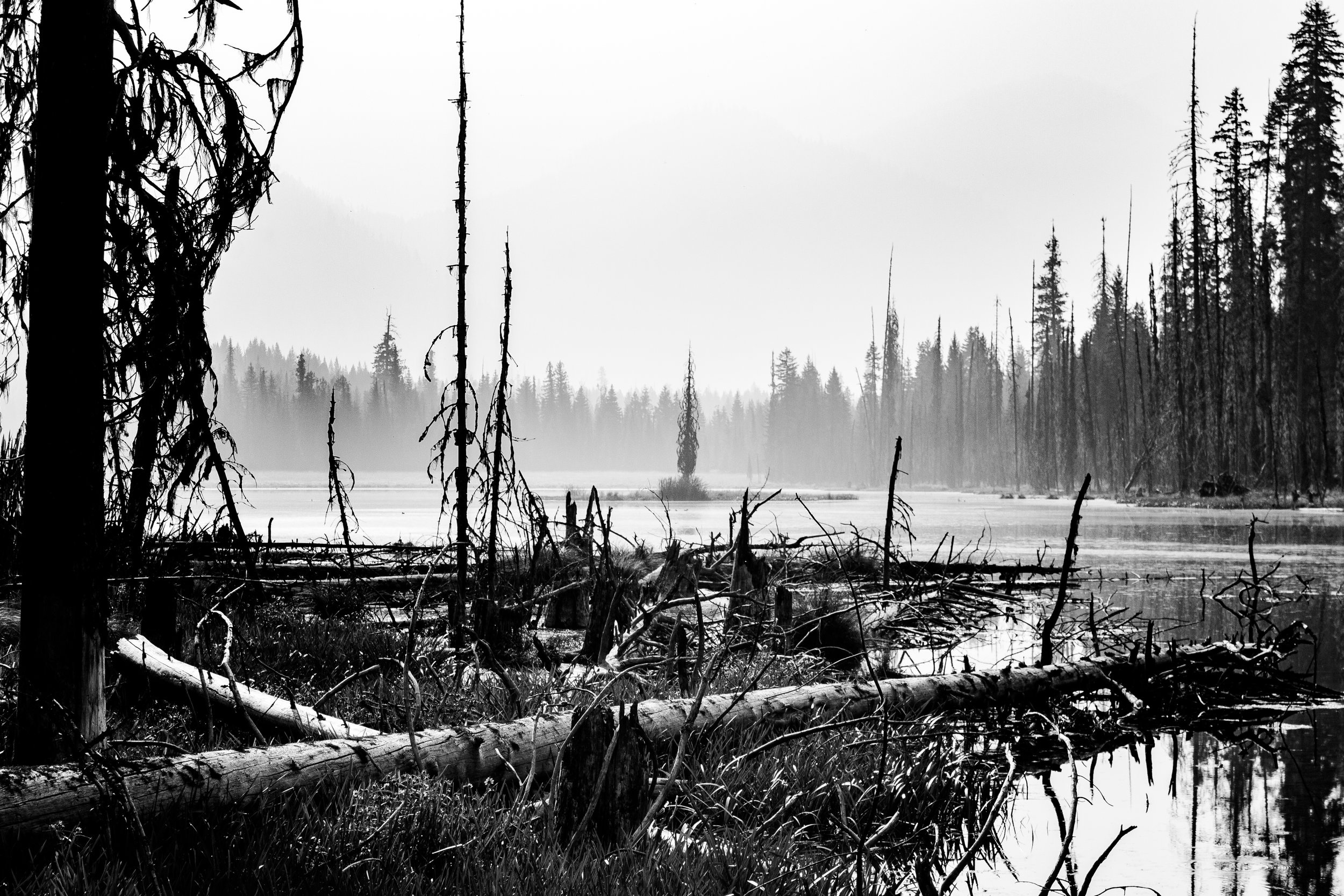
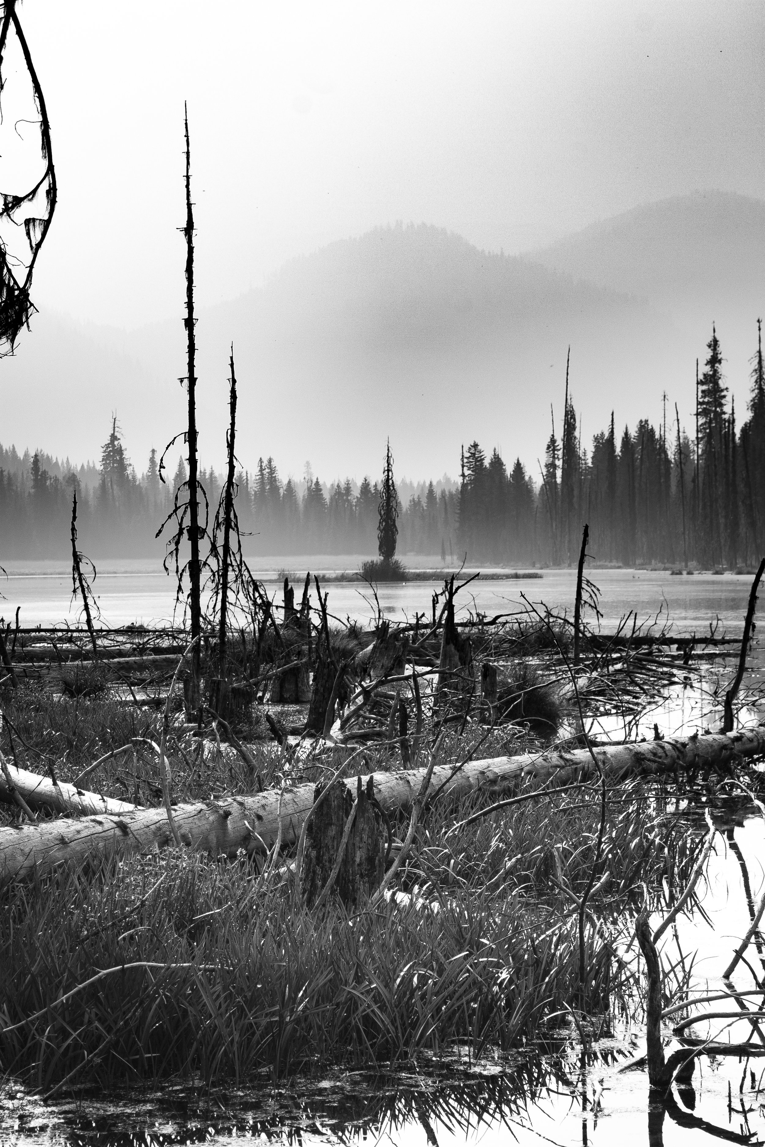
This photo project is an attempt to listen to what was soaked up into the rivers, mountains and grasslands that witnessed the events of 140 years ago and make the sounds visible.
The Route
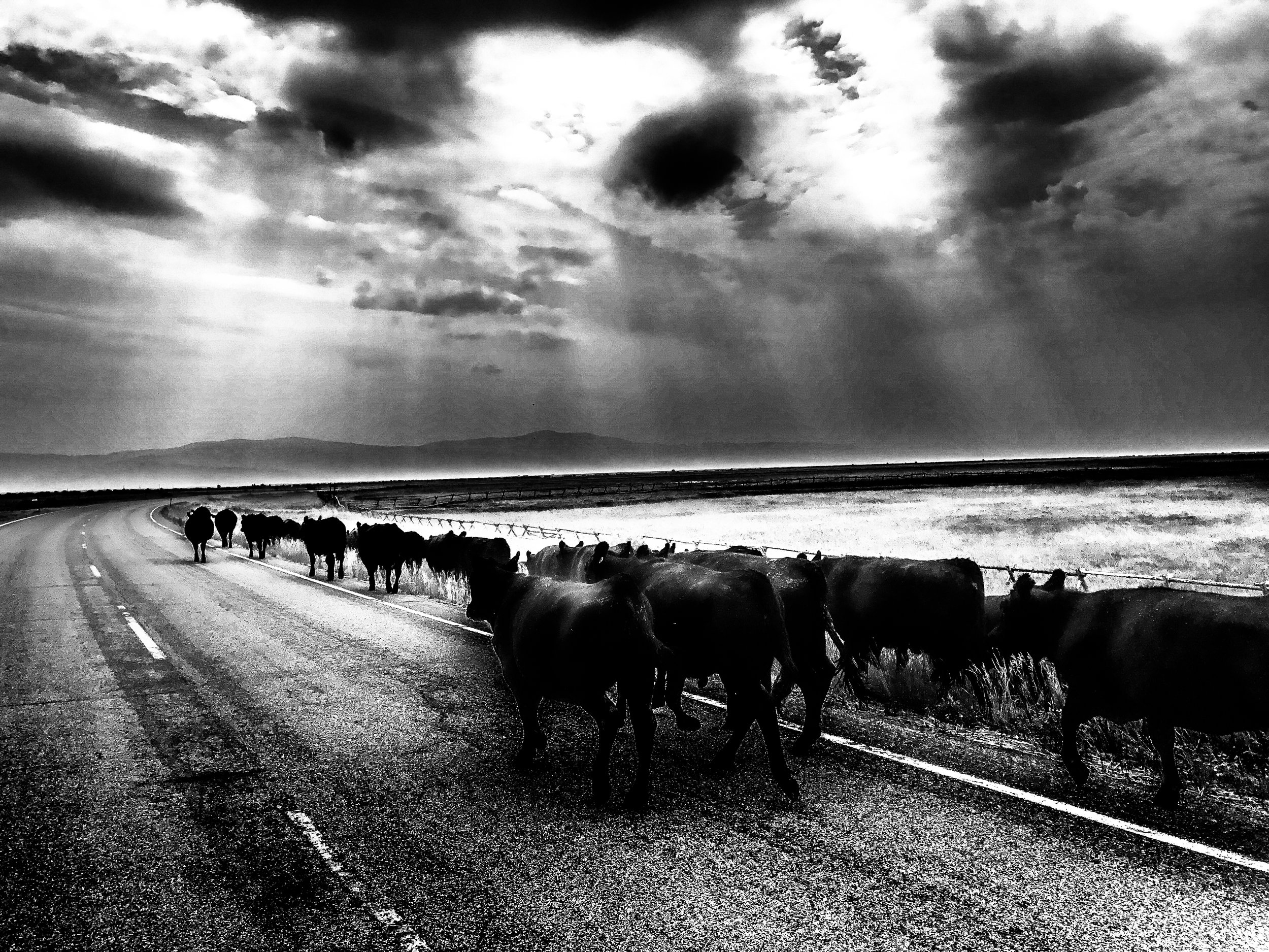
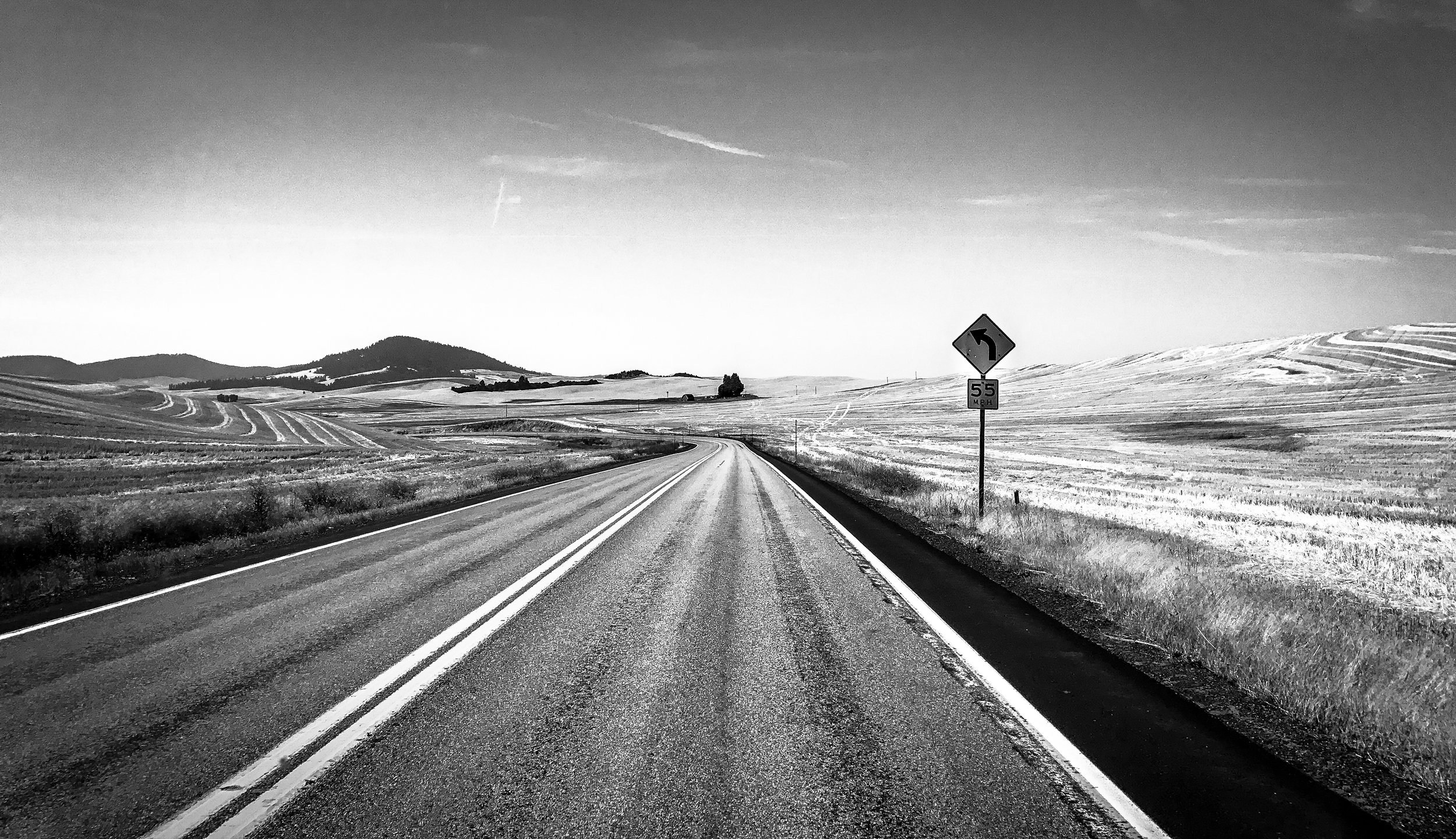
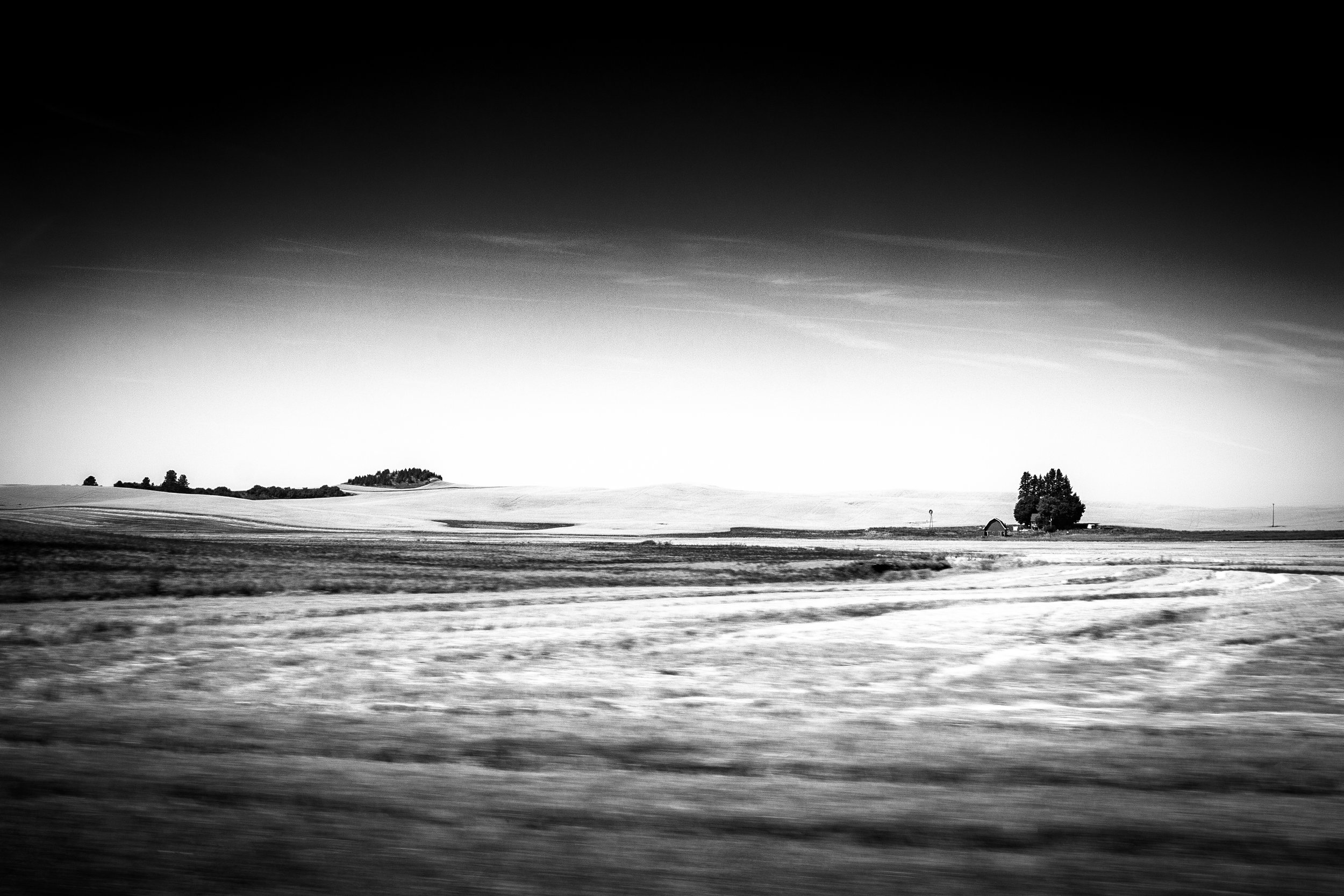
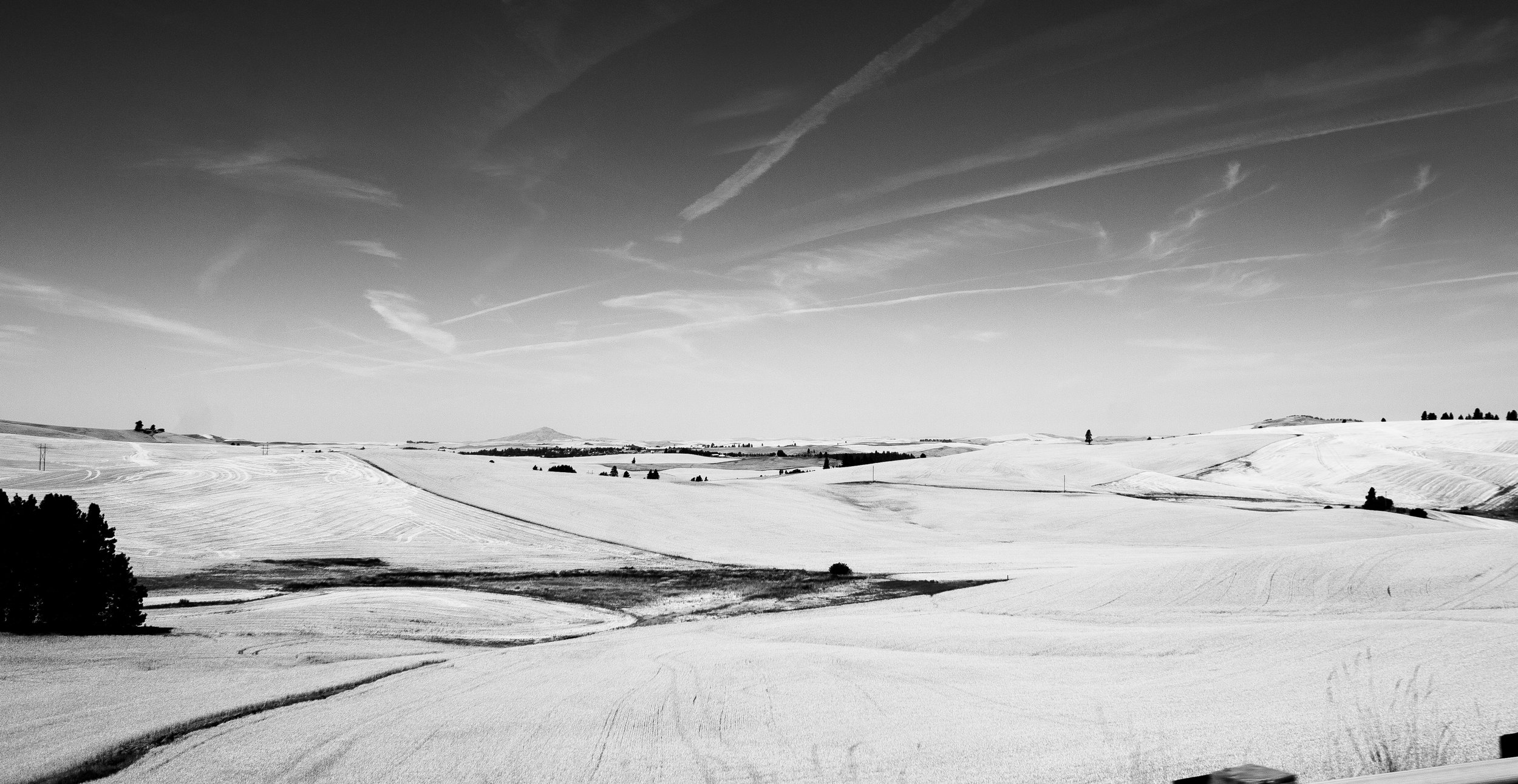
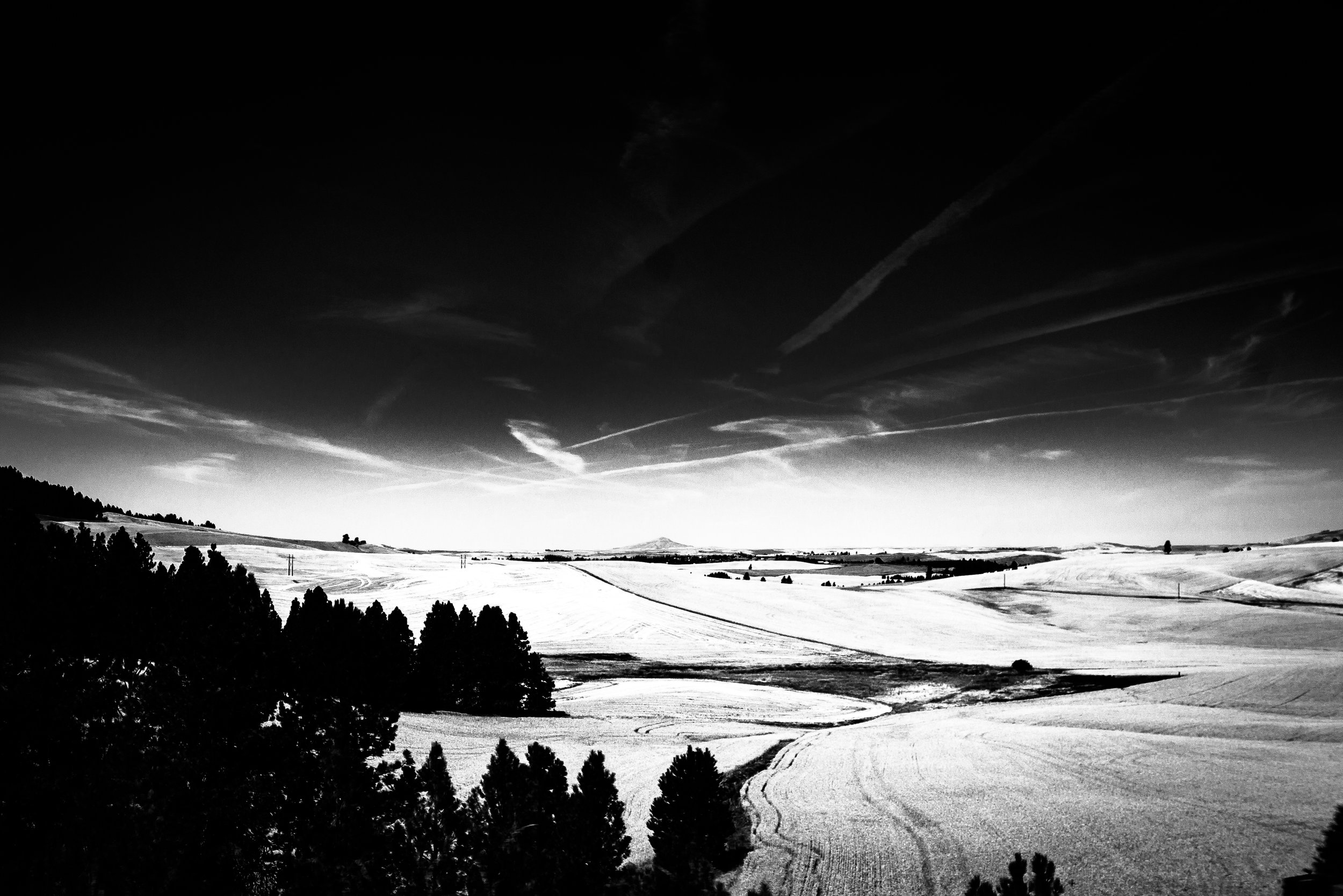
Starting in Clearwater, Idaho, an old Nez Perce hunting trail—parts of which are still dirt, while others are now route 12—I climbed over Lolo Pass through the Bitterroot mountains and descended into Montana to the vast grassland in the eastern part of the state. The trail over the Bitterroots was used by Lewis and Clark to enter into the Nez Perce homeland in the early 1800's.
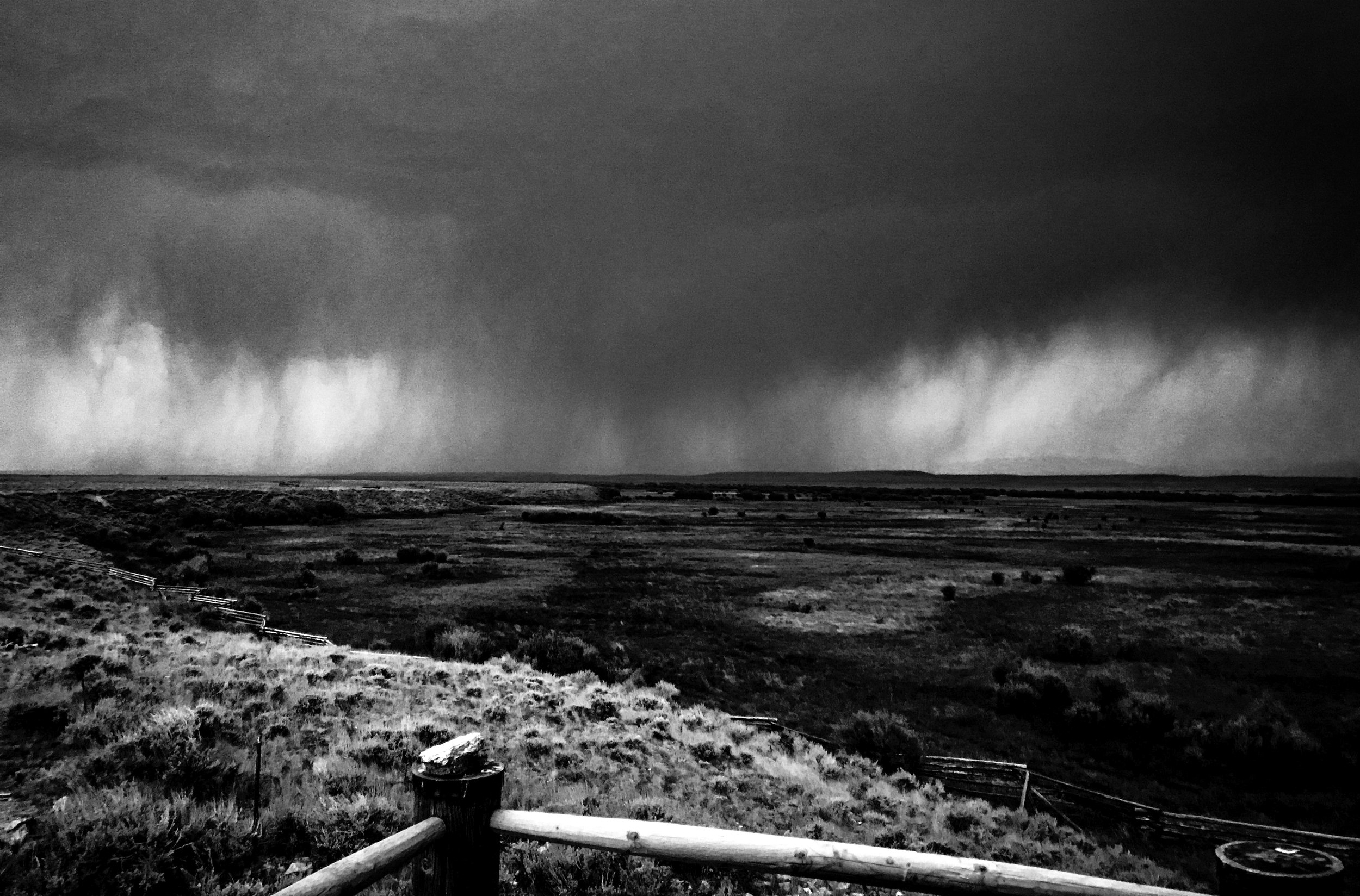
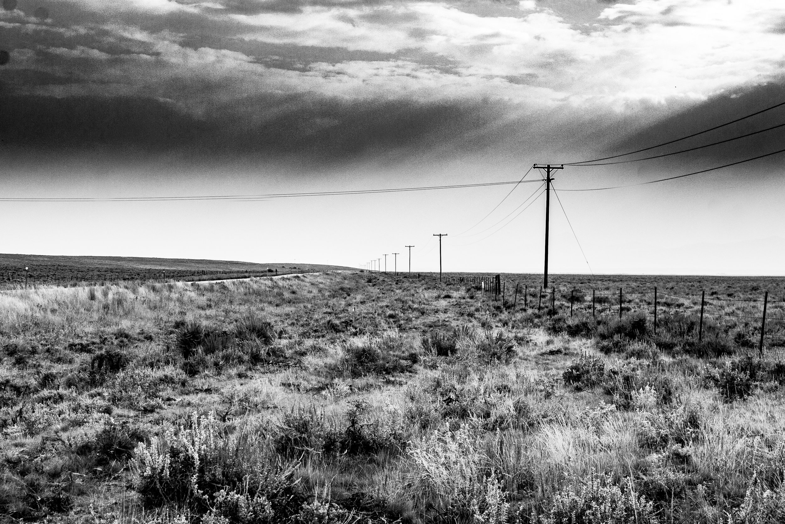
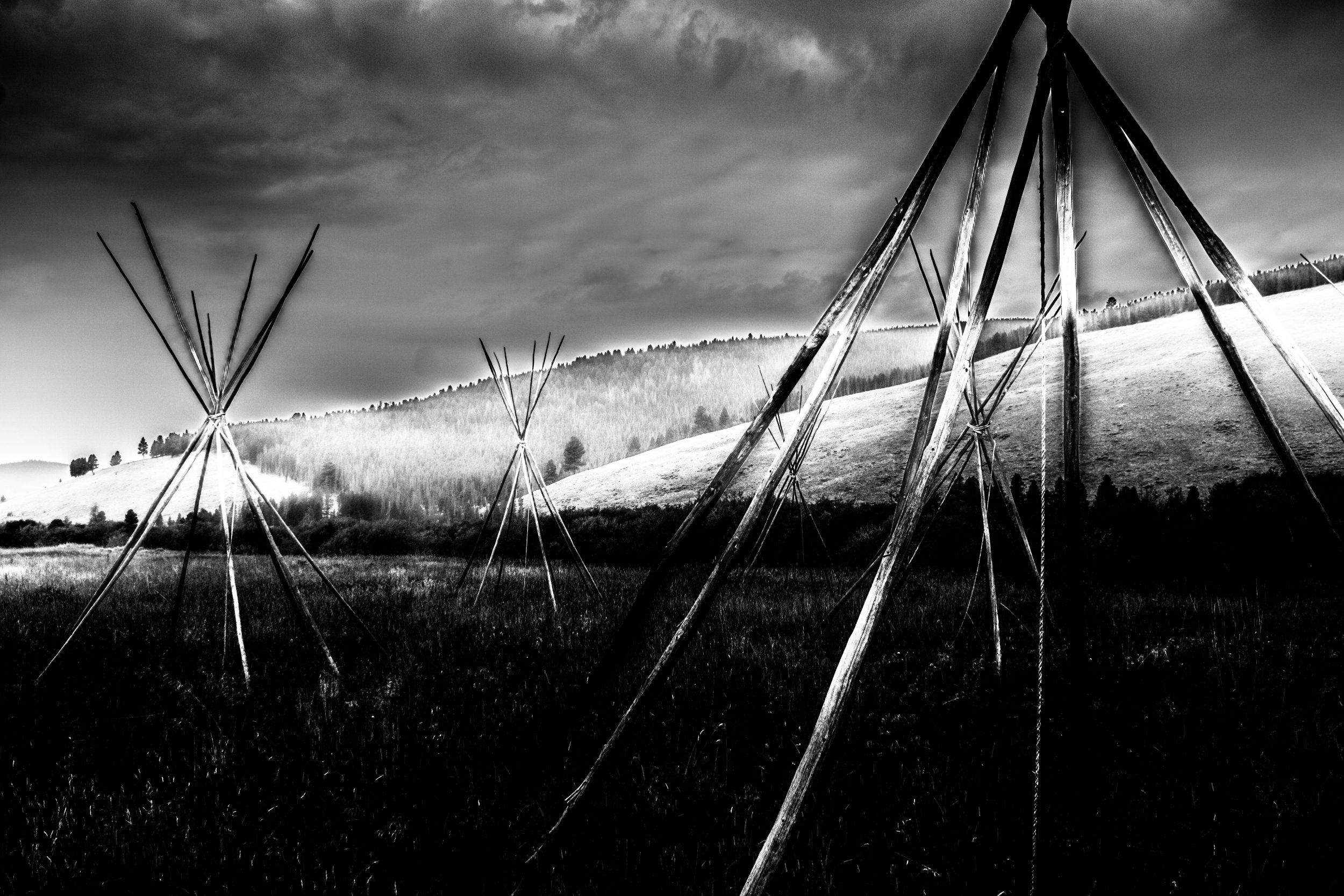
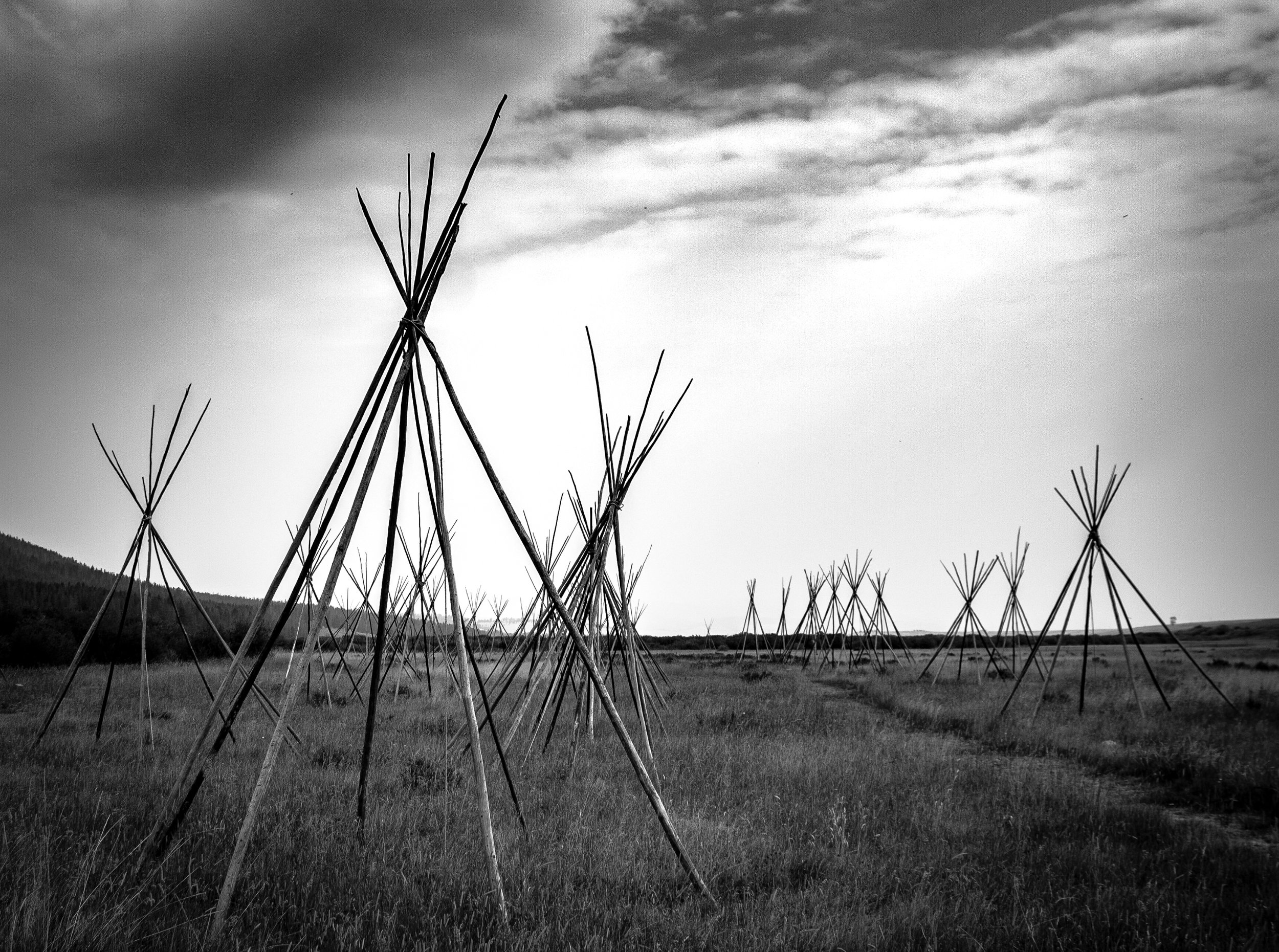
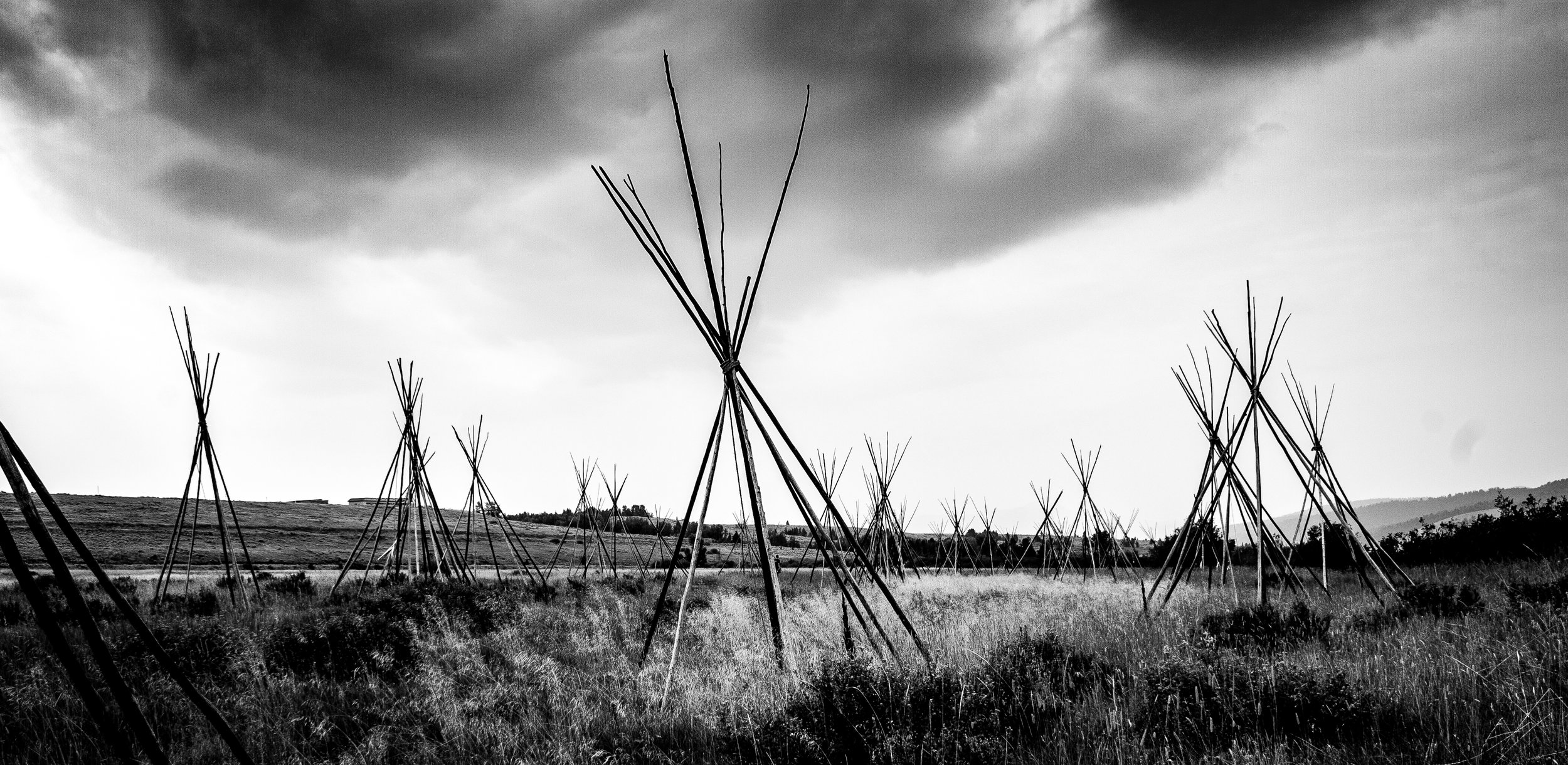
From just outside Missoula, Montana, the Nez Perce turned south to the Big Hole, a place they often camped on hunting trips east. In Big Hole, they thought they’d distanced themselves from the pursuing Army. They took time to cut poles for tepees and rest their horses.
But they had not lost the Army. In fact, the army was digging rifle pits just outside the camp and perparing for a dawn attack. The surprise attack killed many Nez Perce families. But a counter attack allowed the New Perce to escape. With a loss of life, belongings, and provisions, the remaining group fled to Camas Meadows outside present day Yellowstone National Park. East of Yellowstone, they turned north toward Canyon Creek, Montana. Eventually they were stopped and rounded up by the U.S. Army at Bear Paw, forty miles from the Canadian border.